


To learn how climate change is affecting everything from urban heat to rural flooding, you can dig through decades worth of data from temperature sensors and rain gauges.
Or you can check in with the folks living climate change everyday. People are the “smartest sensors in the world,” says Julia Kumari Drapkin, CEO of ISeeChange, a New Orleans-based data and technology company that relies on people’s observations and stories to shed light on climate challenges.
Drapkin, a former Times-Picayune journalist, enlists the residents of neighborhoods and cities to amass data that has been used to craft climate adaptation policies and projects in Boston, New York, Miami and New Orleans.
She spoke to The Times-Picayune | The Advocate about ISeeChange in a conversation that has been edited for length and clarity.

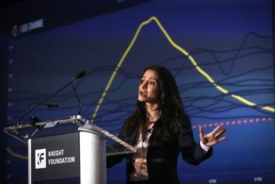
Julia Kumari Drapkin discusses ISeeChange with journalist Fletcher Mackel during the Big Idea business pitch contest in New Orleans in 2014.
How did ISeeChange get started?
It originally started as a radio show. I thought that if we could figure out mechanisms for everyday people tracking climate change impacts to connect to the bigger picture with models and satellite data, we could have a really powerful conversation. It was funded by the Corporation for Public Broadcasting. I was asked to go to rural Colorado to do it at a local station there. We launched ISeeChange in 2012 during one of the most anomalous weather years on record in the continental United States. People were seeing it in this (Colorado) town: not enough snowpack in February, birds dying in the streets, early wildfire, drought.
It was just people calling in to the station and me investigating what they were seeing and connecting it to scientists. Residents were ahead of mainstream reports because they had lived there all their lives. They were providing not only stories about climate change, but in some cases technical data.
We took that insight from the Colorado farmers and ranchers and it became a platform that cities, engineers, utilities and researchers are using to collaborate directly with residents on climate change solutions.

Cars plow through floodwater on Orleans Avenue at North Claiborne Avenue in New Orleans on Aug. 5, 2017.
Tell me about the flooding issues you looked at in New Orleans.
We got a grant just as the city was given its National Disaster Resilience Competition award to design the Gentilly Resilience District.
In 2017, we started handing out rain gauges and having people track rainfall because rainfall is extremely granular. The most accurate data is collected where the impact is happening. On August 5, 2017, the city catastrophically flooded. People all around New Orleans posted on ISeeChange, and we had a very comprehensive data record of that particular event.
In 2018, ISeeChangers tracked multiple flood events that were very relevant to the infrastructure designs of the Gentilly Resilience District. Over the course of 29 flood events, ISeeChangers were able to demonstrate that the models were under-estimating flood risks in the St. Bernard campus, which was a lower-income, formerly redlined neighborhood. That changed the design of that project. They had an underground unit underneath the McDonogh 35 baseball field that was for storing stormwater, but it was undersized. So they increased the size by two and a half times thanks to this data.

Darker shades show areas of higher evening temperatures in the New Orleans area.
Tell me about the heat mapping you did.
The city of New Orleans Health Department was very concerned about heat and very interested in understanding it better, and asked us to deploy a study.
We started by having residents drive New Orleans with sensors on their cars. We then had stationary sensors placed in specific neighborhoods, and then compared those sensors with the National Weather Service's heat alerts. It was quite clear that our sensors were triggering heat indices that exceeded the National Weather Service's heat alerts.
The weather service's official sensor for the city of New Orleans is at the airport in Kenner, which is not in Orleans Parish. We were able to say that the weather service should be issuing heat alerts in certain neighborhoods more often than it was.
Certain neighborhoods have a lot less trees, more impervious surfaces, and are hotter than other neighborhoods. We have certain kinds of homes and residents who are extremely vulnerable. Talking about this helps us understand how we can best serve vulnerable community members.

Demethrius Barns cools off in front of the misting fan during the sixth annual REJOICE Inc. JUNETEENTH CommUNITY Festival in Kenner on June 18, 2022.
What are you focusing on now?
We have scaled our platform, and we sell it to cities and counties. We're the flood reporting tool for the city of Miami. We have a pilot (project) in which we are tracking flooding, heat and pollution across Miami-Dade County.
And we're finally returning to New Orleans. We're putting sensors inside people's homes this summer and next summer, and tracking indoor urban heat waves. We're hoping it will be useful as the City Council considers expanding investments in energy efficiency and neighborhoods that have high heat.
We are talking to other cities around the country as well. We are taking the knowledge that every resident in New Orleans, who has just dealt with so many blows from hurricanes, flooding, heat, all of our climate change struggles, and turning them into solutions that the rest of the country and the world need. In New Orleans, we can manage multiple crises and we are learning to do it faster than everybody. We've had to do it for years and the rest of the nation is, frankly, catching up.


